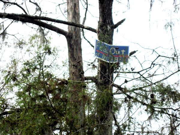
Perhaps their beef is with Lake Marion, of which this swamp is a backwater (I think). Lake Marion was created by the Corps of Engineers.


 The swamp is a wet lands area
near where the Santee River flows into Lake Marion. It is a
blackwater swamp flowing among cypress, tupolo and ash trees. We had
to search to find both through passages and areas of ground dry
enough to get out on. Mostly we followed a green-blazed trail from
the landing to a long-ago cut off oxbow lake (Riser Lake), which we
crossed to find some high ground (6' above water level). I suspect
the high ground was once the natural levee that forms along
meandering rivers. Judging by aerial photos of the area, the swamp
varies from 1 to 4 miles wide on the east side of the Santee River
at the north end of Lake Marion, and is perhaps ten miles long on
the north-south axis. I got the feeling that it would not be hard to
become really, really lost in this swamp. It made an enchanting
place to paddle.
The swamp is a wet lands area
near where the Santee River flows into Lake Marion. It is a
blackwater swamp flowing among cypress, tupolo and ash trees. We had
to search to find both through passages and areas of ground dry
enough to get out on. Mostly we followed a green-blazed trail from
the landing to a long-ago cut off oxbow lake (Riser Lake), which we
crossed to find some high ground (6' above water level). I suspect
the high ground was once the natural levee that forms along
meandering rivers. Judging by aerial photos of the area, the swamp
varies from 1 to 4 miles wide on the east side of the Santee River
at the north end of Lake Marion, and is perhaps ten miles long on
the north-south axis. I got the feeling that it would not be hard to
become really, really lost in this swamp. It made an enchanting
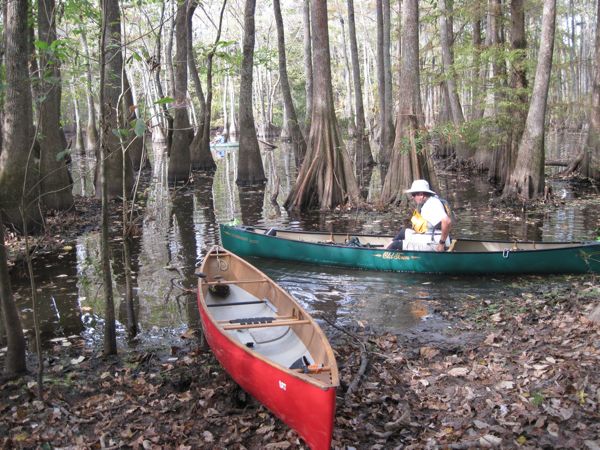
place to paddle.| Launch site for hand
launched boats is at the right side (as you enter) of the
parking area. |
|
| Somebody was trying to be
outspoken, but it is unknown to me what the point of this
sign is. What Feds? Where? It's the middle of a swamp! Perhaps their beef is with Lake Marion, of which this swamp is a backwater (I think). Lake Marion was created by the Corps of Engineers. |
|
| Bill Walsek paddling an open
stretch in the swamp. Note the blazes on the tree at image
center. This must have been in the channel where the bass
boats pass. |
|
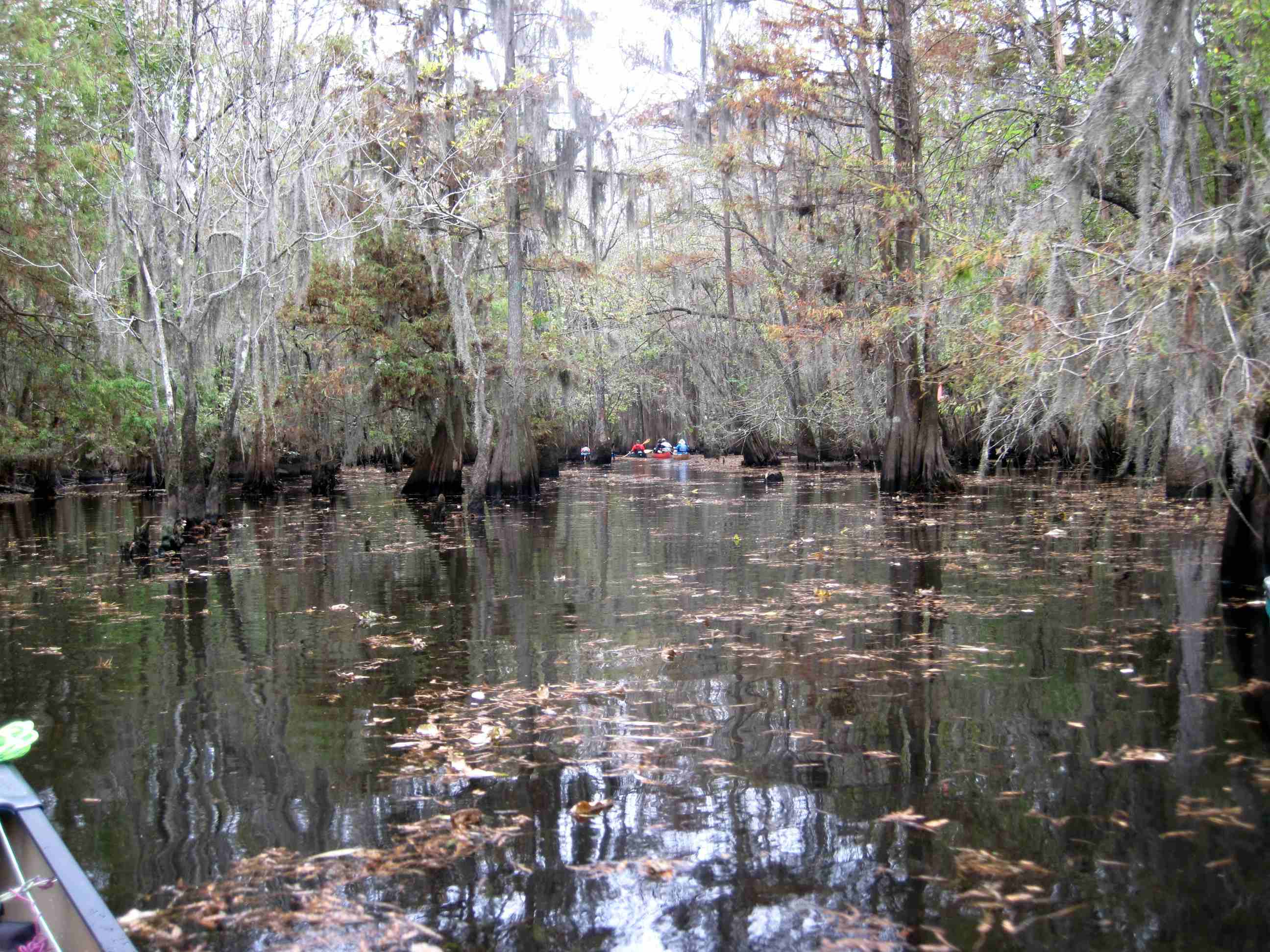
| A close up of the tree with
blazes, with the rest of our Friday group coming around the
bend. |
|
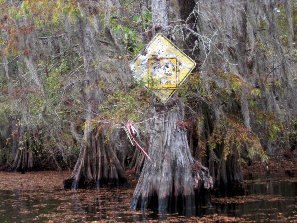
| It's always hunting season
for speed limit signes. Exactly how many shots does it take
to kill a sign, anyways? |
|
| On Saturday, realizing it was hunting season, Bill went with the blaze orange hat. BTW, it is deer hunting season 6-months out of the year in South Carolina. | |
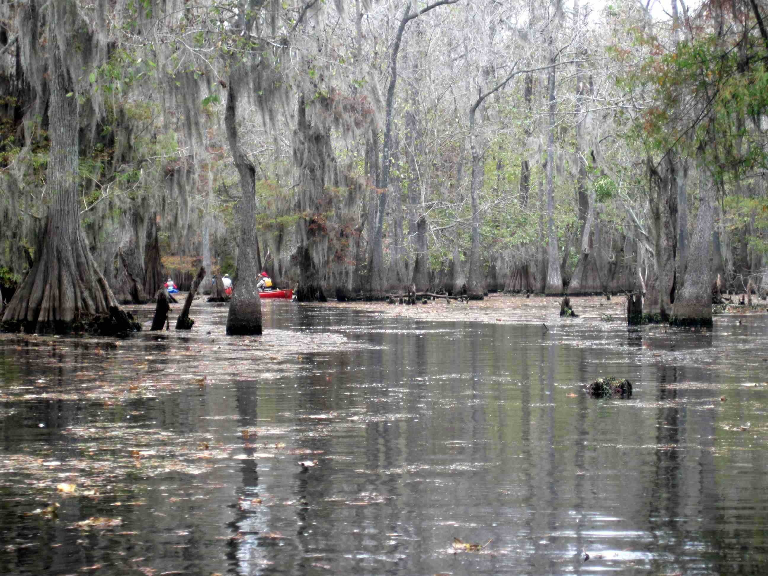
| Maybe it's just me, but I
think it is a lovely swamp. |
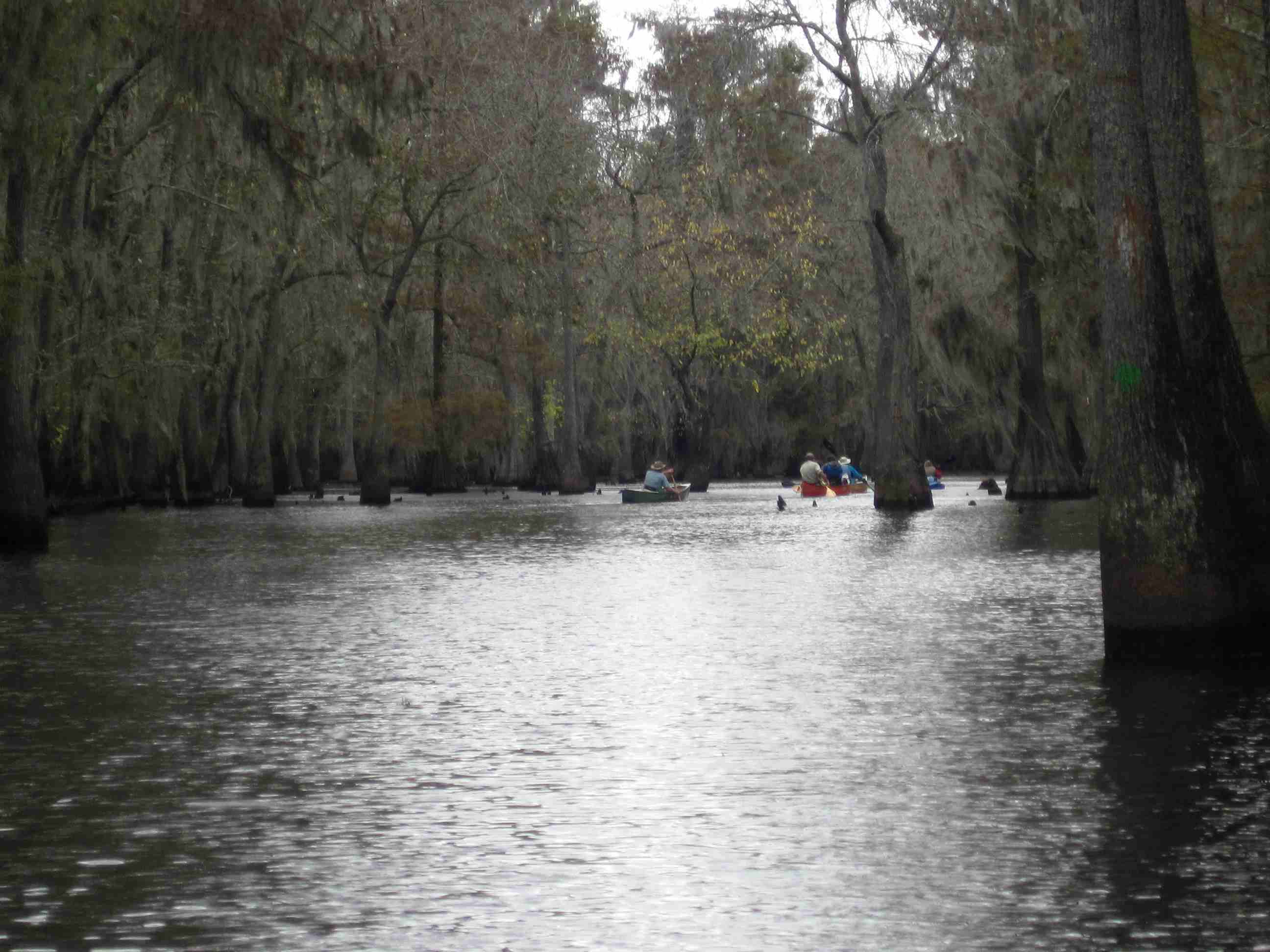
 |
| Another photo from the
blazed water trail. |
 |
 |
|
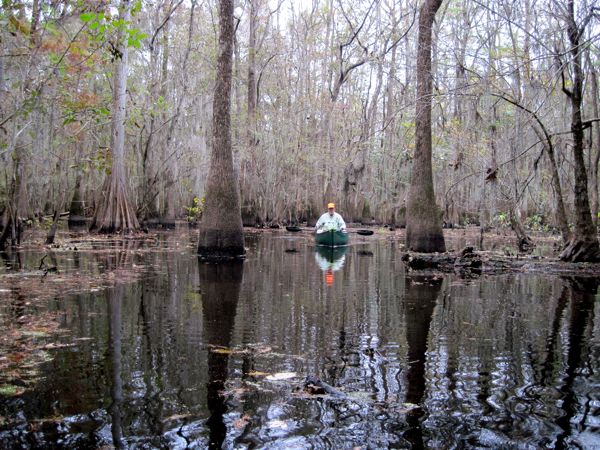
| Hey, that's me! Gliding
between trees in Sparkleberry Swamp. |
 |